Line Earthwork
Line earthwork is defined by its axis, which is inputted by points with (x, y) coordinates. The z coordinate, width of earthwork, and slope inclination are inputted for each section of line earthwork. In the case, that some of these parameters are the same in all points, they can be entered as uniform. For example, if we check the "Uniform coordinate z", all points of line earthwork have the same altitude. The same approach can be used also for earthwork width or slope inclination.
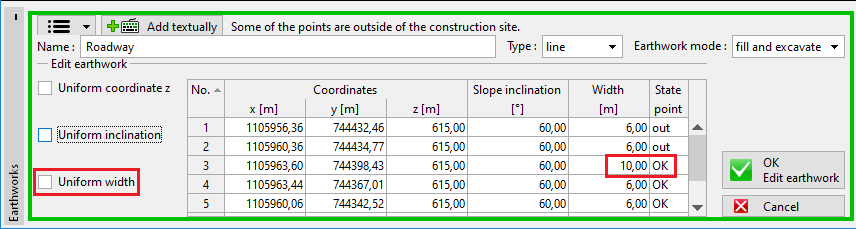 Input of line earthwork sections
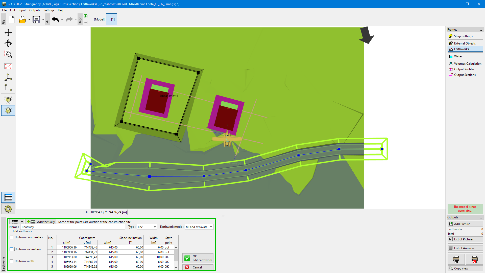 Line earthwork